


TERRITORIAL MAP
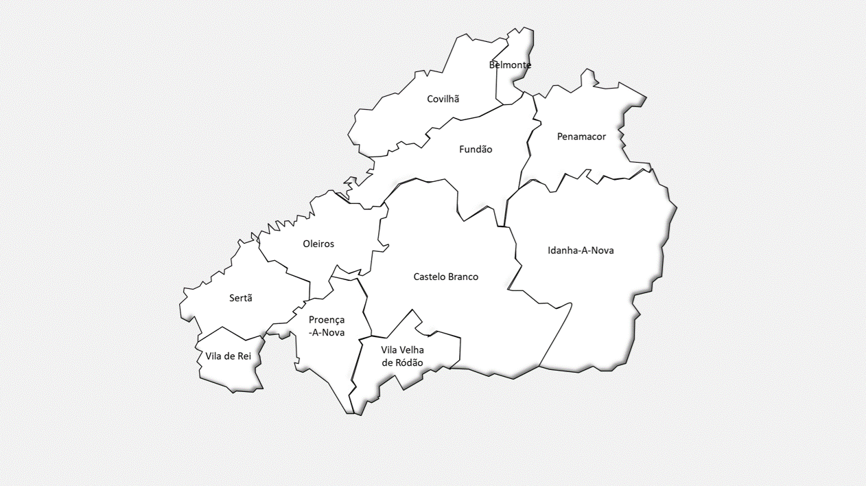
The district of Castelo Branco occupies an area of 6,674,7 Km2 (about 9% of the total area of Continental Portugal), is located in the central interior of the country and is formed by eleven counties, namely: Belmonte, Castelo Branco, Covilhã, Fundão, Idanha-a-Nova, Oleiros, Penamacor, Proença-a-Nova, Sertã, Vila de Rei, and Vila Velha de Ródão. The geographical delimitation of the district is made to the North by the district of Guarda, to the South by the district of Portalegre, to the West by the districts of Santarém, Leiria and Coimbra, to the East by the border with Spain.
Geographically it is characterized by the several mountain ranges that cross it, with part of the Estrela and Lousã ranges and the Gardunha, Malcata, Alvelos and Muradal ranges. In its valleys run the rivers Erges, Ponsul, Ocreza and Zêzere, tributaries of the right bank of the river Tejo, which delimits the district to the south.
The municipality of Castelo Branco is located in the central region and is one of the largest in the country (1,440 Km2). Its southern boundary is the Tagus River, which defines the border with Spain; to the east is the municipality of Idanha-a-Nova; to the north is the municipality of Fundão; to the southwest and west are, respectively, the municipalities of Vila Velha de Ródão and the municipalities of Proença-a-Nova and Oleiros.
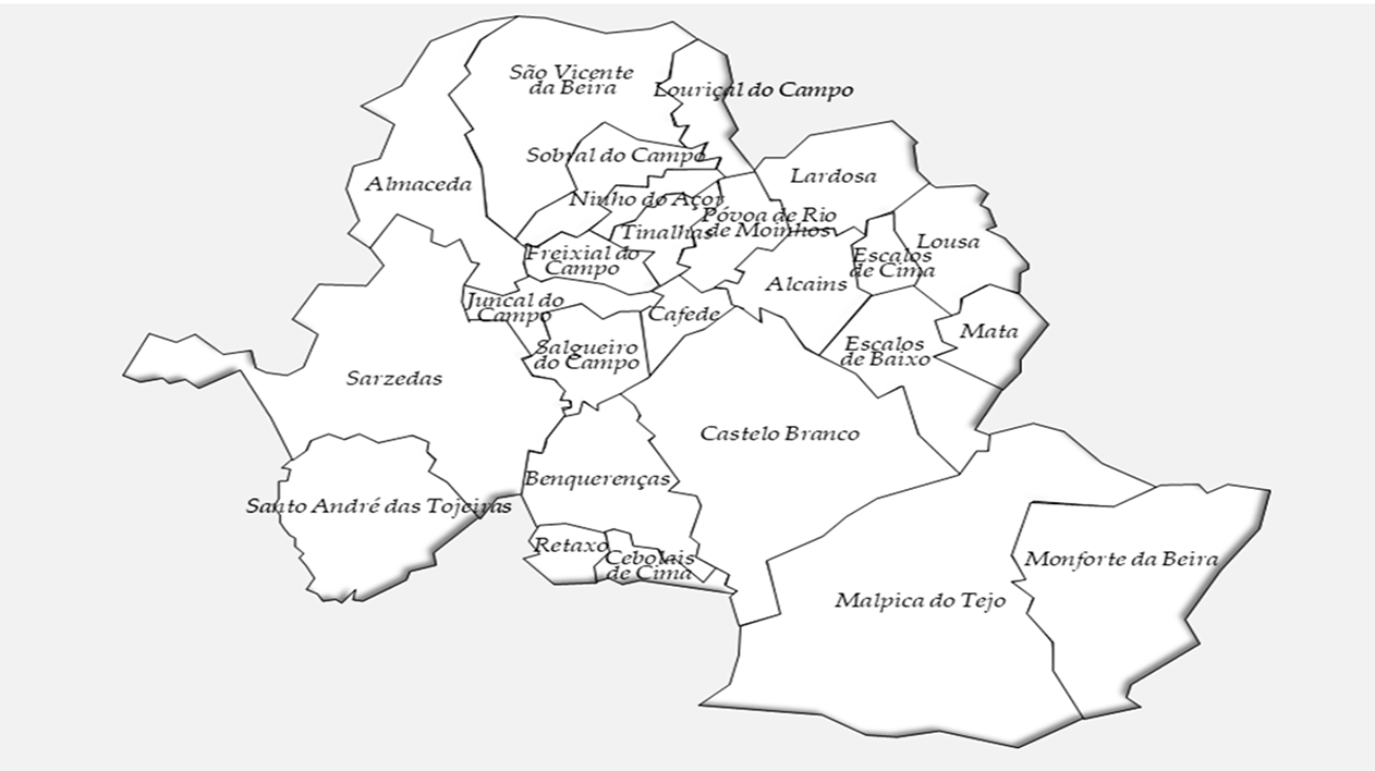
The municipality of Castelo Branco is integrated in the CIMBB - Intermunicipal Community of Beira Baixa and assumes itself as an administrative and economic pole of undeniable attractiveness for the Beira Interior, also by virtue of its geographical centrality.